| Welcome |
| About Us |
| History of Bloomfield |
| Museum |
| Membership |
| Maps |
| Photo Galleries |
| Newsletter Archive |
| Video Archive |
| Resources |
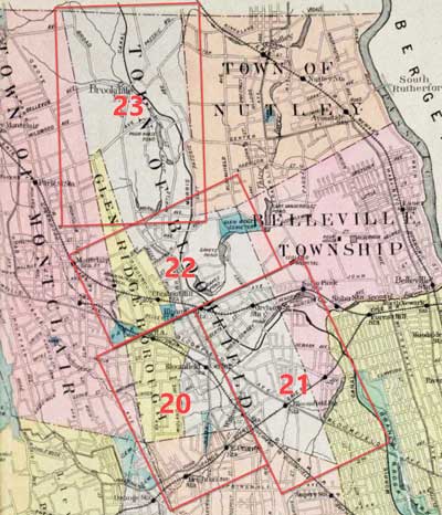
| Historical Maps of Bloomfield | |||||||||||
|
|
|
||||||||||
90 Broad Street
Bloomfield, NJ 07003
973-743-8844
info@hsob.org
| Museum Hours |
| Wednesday: 2:00pm - 4:30pm |
| Saturday September to June: 10:00am - 12:30pm |
| and by appointment |